
Current Storm Conditions and Alerts
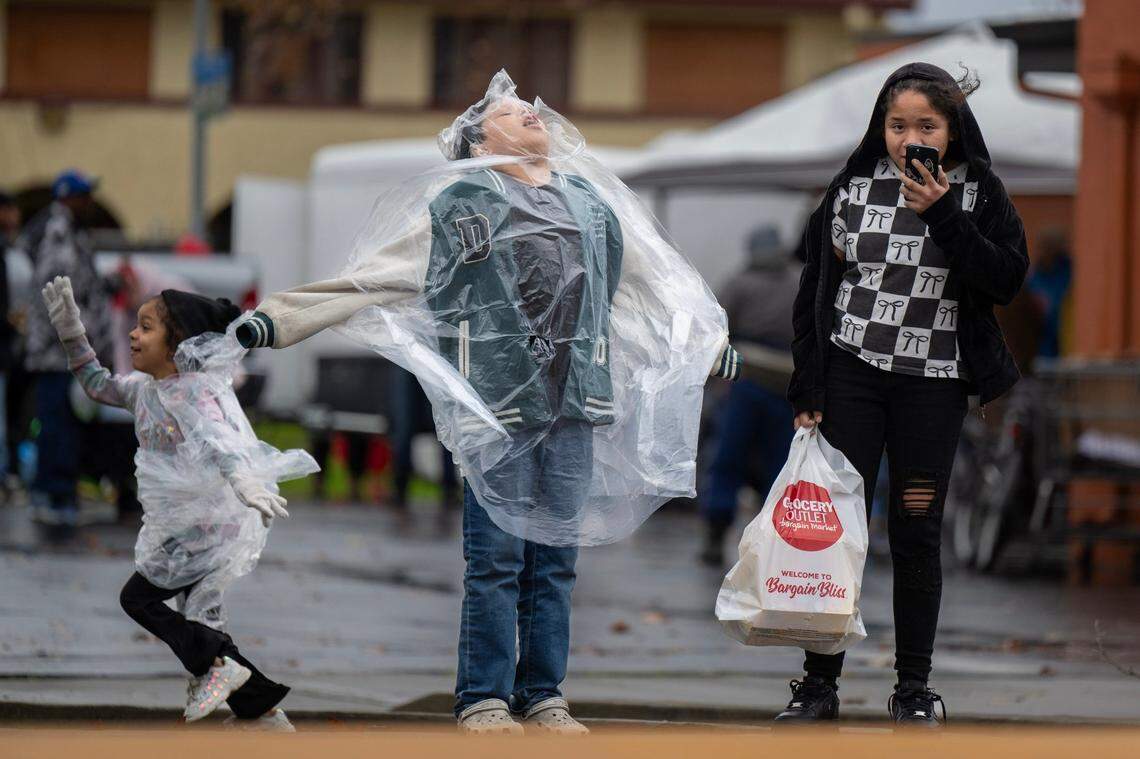
A Flood Watch is in effect from 4 PM PST on December 23 until 10 PM PST on December 25, issued by the National Weather Service for San Luis Obispo, Santa Barbara, Ventura, and Los Angeles counties. Significant and widespread flooding is likely due to excessive rainfall, with potential debris flows in recent burn scars.[1]
Heavy rainfall rates could exceed one inch per hour, especially Tuesday night into Wednesday on south-facing slopes and near thunderstorms. Another round of intense rain and possible thunderstorms is forecast for Thursday.[1]
Temperatures in Los Angeles and surrounding areas remain mild, around 59-63°F, with moderate rain (0.88 inches expected) and winds from the southeast at 7 mph. Cloud cover is at 56% in areas like Westminster.[2][4]
Regional Impacts Across California
In Southern California, including West Los Angeles, expect highs of 63°F and lows around 53°F on December 24, with ongoing rain into December 25 (high 62°F, low 53°F). These conditions amplify flood threats during peak holiday travel.[5]
The Bay Area forecasts heavy rain on December 24, with temperatures between 10-15°C (50-59°F). December averages show max temperatures of 14.6°C (58.3°F) and mins of 6.4°C (43.6°F), with 121mm (4.8 inches) of precipitation typical.[3]
Statewide, December 2025 brings low temperatures ranging 11-19°C (52-66°F), with 3-8 rainy days. Umbrellas and flood preparations are essential.[2]
Safety Tips and Monitoring
Monitor later forecasts for possible Flood Warnings. Those in flood-prone areas should prepare to act if flooding develops. Avoid travel in affected regions to prevent delays and hazards.[1]
Check NWS safety resources for flood guidance. Recent burn scar areas face high debris flow risks, potentially causing damage.[1]